The Barton Creek Greenbelt offers over 7 miles of gorgeous trails for hiking, mountain biking, and swimming when the water levels are just right. With so many public access points to the Greenbelt, we were curious about all of the best swimming spots right now. So did a little research and compiled a list of the various locations to help you get out and enjoy the Greenbelt.
–> Public Access Points to the Barton Creek Greenbelt:
Spyglass Access
1601 Spyglass Dr.
Spyglass has been one of our go-to access point for many years, due to it’s proximity to Tacodeli. We usually grab a few tacos to take with us before a swim or a hike. There is also usually easy street parking at this location. Once you head down the hill at the trail access, take a left and you’ll find your way to the Flats & the Campbell’s Hole swimming spot. Click here for a map.
The Flats
Barton Hills/Homedale Access
2010 Homedale Dr.
You can also reach Campbell’s Hole from an access point at Barton Hills Elementary. Parking here is on the street in a residential neighborhood. Once you enter the trail, head north for Campbell’s Hole. Click here for a map.
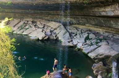
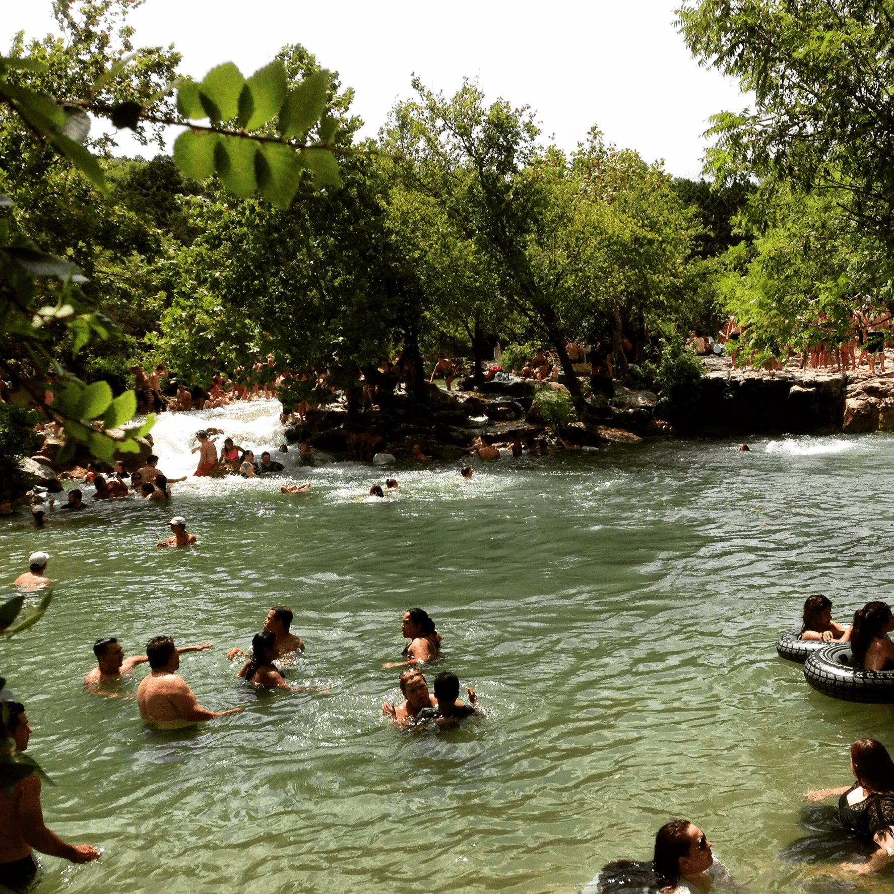
Near Campbell’s Hole area
Gus Fruh Access
2642 Barton Hills Dr.
You could get to Gus Fruh from the Spyglass entrance and just simply keep going, but you can take a more direct route and park in this residential neighborhood. Here are some directions from TexasOutside.com: From I-35 exit on Riverside and head west. Drive 1.5 miles to Barton Creek Rd and turn left (west). Drive about one mile past the Lamar intersection and turn left on Robert E Lee Rd. Take the first right on Barton Hills Dr. Continue down Barton Hills for exactly 2 miles. The access is in the middle of residential neighborhood on the right near the intersection of Barton Hills Dr. and Horseshoe Bend Cove. Click here for a map.
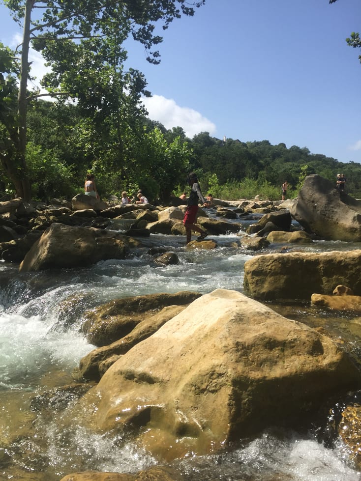
Gus Fruh, photo by Ramona Finos
Gaines Creek/Twin Falls Access
3900 W. Frontage Rd
This entrance is very popular but a little complicated to explain. You’ll take Loop 360/Capital of Texas Highway and take the on-ramp as if you’re heading south on Mopac. But stay on Frontage Rd. instead of getting onto Mopac. You’ll see parked cars on the right side and the access to the Greenbelt here. The trail to Twin Falls can take a little bit of hiking time, so take note of that if you’ve got little ones with you. And if you want to explore even past Twin Falls, you will find your way to the pretty Sculpture Falls. You can also access Twin Falls from parking on the Mopac access road just south of 360. Click here for a map.
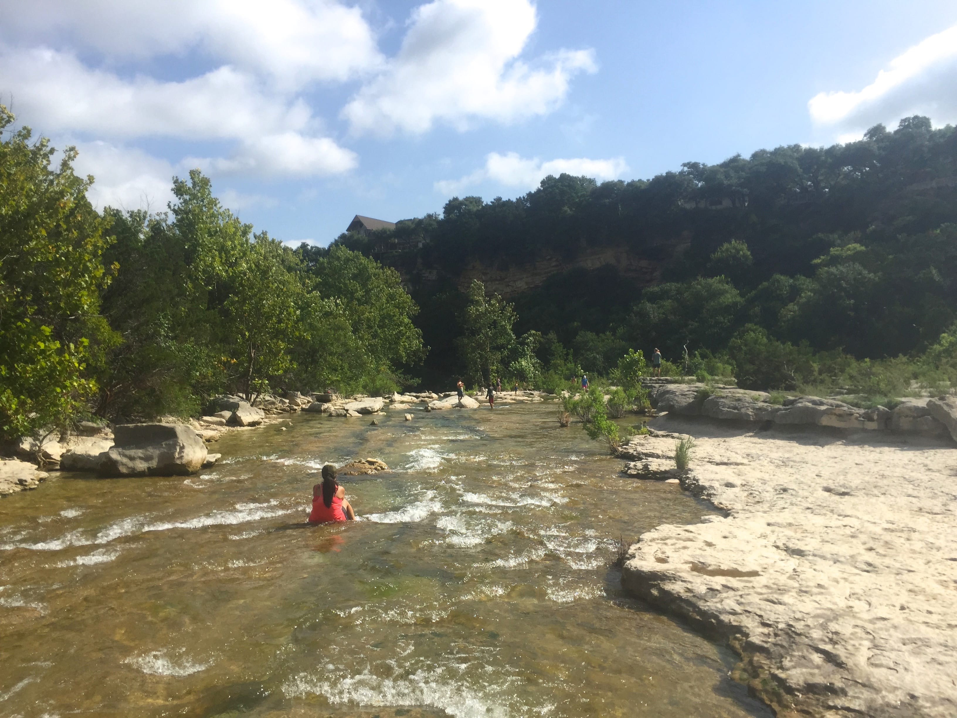
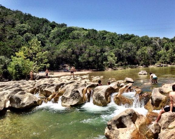
Twin Falls
Trail End/Sculpture Falls Access
1710 Camp Craft Road
Here you will find the trails end, the famous Hill of Life and the Sculpture Falls swimming area. Be warned, however, that you’ll need to be ready for a half-mile uphill hike to get to the falls.
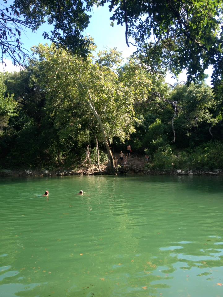
Sculpture Falls
Things to Keep in Mind Before You Go:
- Be sure to keep the kids close by. Some of the trails have steep drop-offs, and of course kids will need monitoring when swimming. (Obviously, no lifeguards at the Greenbelt.)
- If your child is fearful of dogs, be aware that there may be dogs running off-leash in these areas.
- Consider having the kids wear water shoes to help on slippery rocks. DO NOT WEAR FLIP FLOPS, you’ll regret it.
- Be sure to take any trash out with you when you exit.
- Don’t leave any valuables in your vehicle when you park.
- Try to head to the Greenbelt early in the day to avoid crowds.