From shaded greenbelts and lakeside trails to beginner-friendly bike parks, Austin is a great city for family bike rides. Whether you’re introducing a toddler to their first trail or trying to tire out a group of energetic kids, these local spots offer safe, scenic places to get rolling.
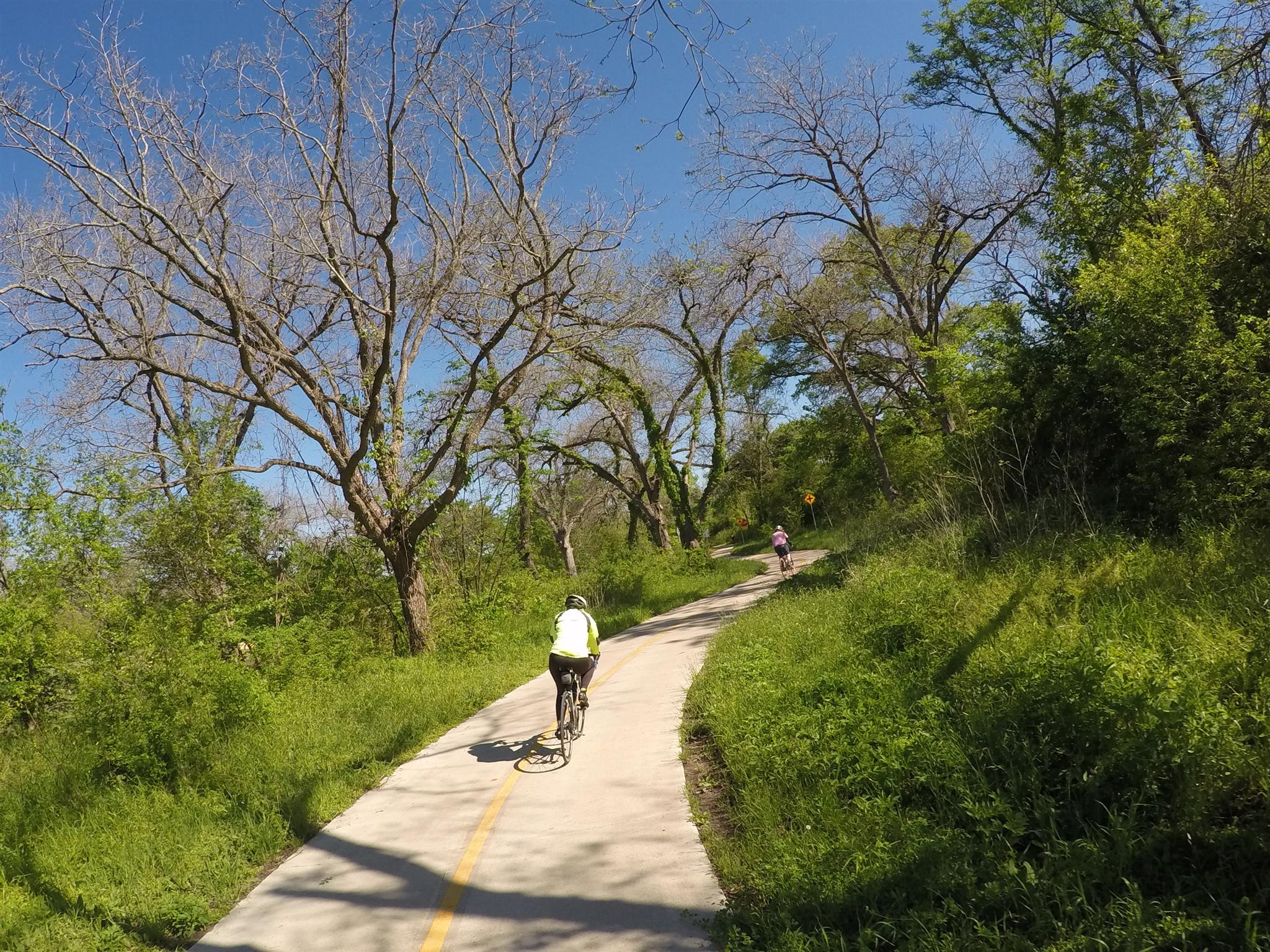
Southern Walnut Creek Trail – The trail is approximately 7.3 miles long and consists of a 10-foot wide paved trail with 2-foot shoulders. It’s an easy one and great for a family bike ride. There are access points behind the East Communities YMCA at 51st. St. & 183 (middle), at Govalle Park (Southern-most point), at the Austin Tennis Center and Johnny Morris Rd. and Old Manor Rd. Our own Do512 Family staff enjoys this spot for stress-free biking. And as a bonus: if you’re entering the trail from the YMCA access point, there’s a great, shaded playground for the kids, too. Click here to see a map of the trail.
Northern Walnut Creek Trail – This trail offers a great paved trail section that runs for 3.5 miles, from Balcones District Park to Walnut Creek Metropolitan Park. The trail can also be accessed from Scribe Drive. Click here to read more about the Walnut Creek Trail system.
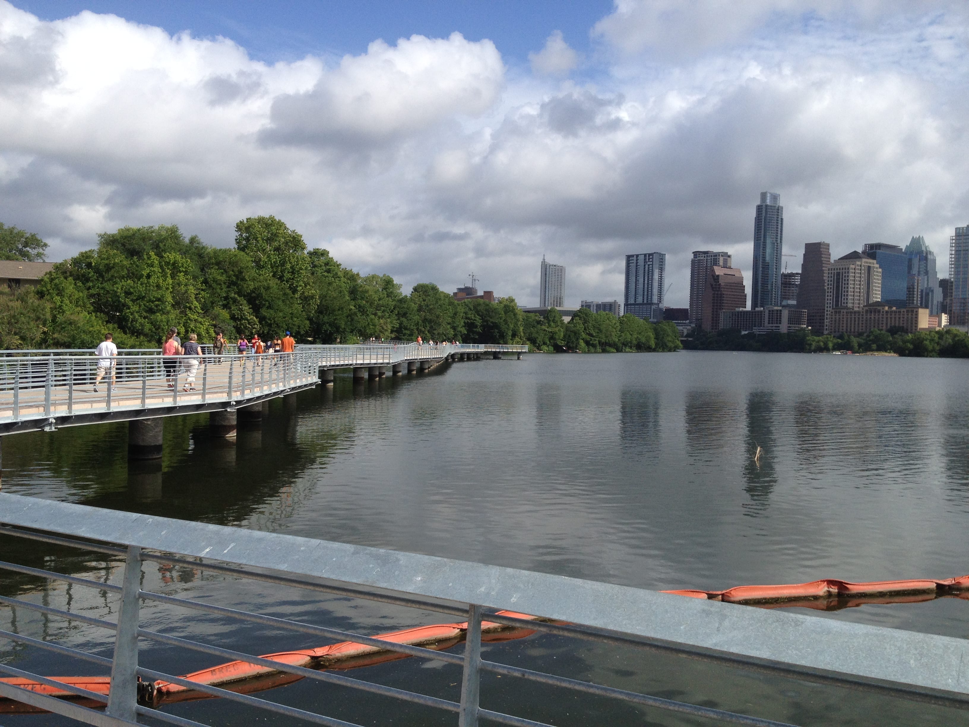
The Boardwalk Trail – The Boardwalk Trail links a 1.1-mile gap in the Roy Butler Hike-and-Bike Trail at Lady Bird Lake. It’s a paved trail that offers gorgeous water & city skyline views and is open from 5 am to midnight each day. It can be accessed at several points – the northeast corner of the American-Statesman parking lot, off the Riverside Drive sidewalk at Blunn Creek, from the northeast corner of the Riverside and IH35 intersection, and at International Shores Park. Street parking is available on S. Lakeshore Blvd. between Pleasant Valley Road and Riverside. Click here for a map of the Boardwalk.
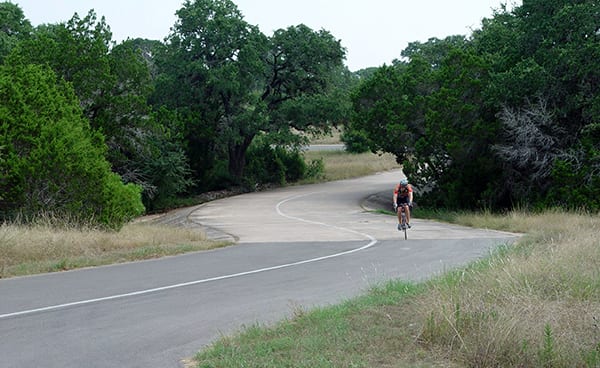
The Veloway – The Veloway may be best for experienced riders, and is a paved bicycle track stretching 3.1 miles long, 23 feet wide, and has fantastic scenery. The direction of traffic is one-way, clockwise. Fast riders stay to the left, and slow riders stay on the right. The Veloway is open year-round, from dawn to dusk. Click here for a map.
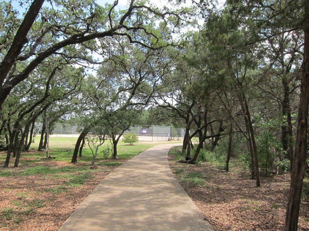
Dick Nichols Park Trail – Located in South Austin, Dick Nichols District Park features a wide, paved 1.1-mile loop that’s perfect for young riders, balance bikes, scooters, strollers, and walkers. The mostly flat trail winds through shaded areas and open green spaces, making it a great spot for families just getting started on two wheels. Older kids looking for a longer adventure can connect to nearby trails, including the Violet Crown Trail. Bonus: The park also offers a playground, picnic tables, restrooms, water fountains, sports courts, and a seasonal pool, making it easy to turn a bike ride into a full morning of fun.
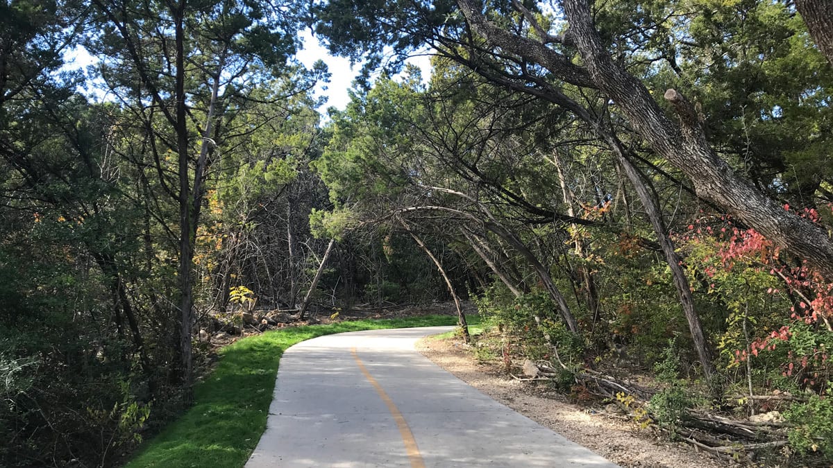
Onion Creek Hike and Bike Trail – This 2.8-mile loop trail is located in McKinney Falls State Park. It’s a pretty scenic part of Onion Creek with shade from Live Oak and Bald Cypress trees. It’s a paved trail that’s great for biking, walking, and even pushing a stroller. (Entrance fees to McKinney Falls are $6 for ages 13 & up, and free for ages 12 & under.) Click here for a trail map.
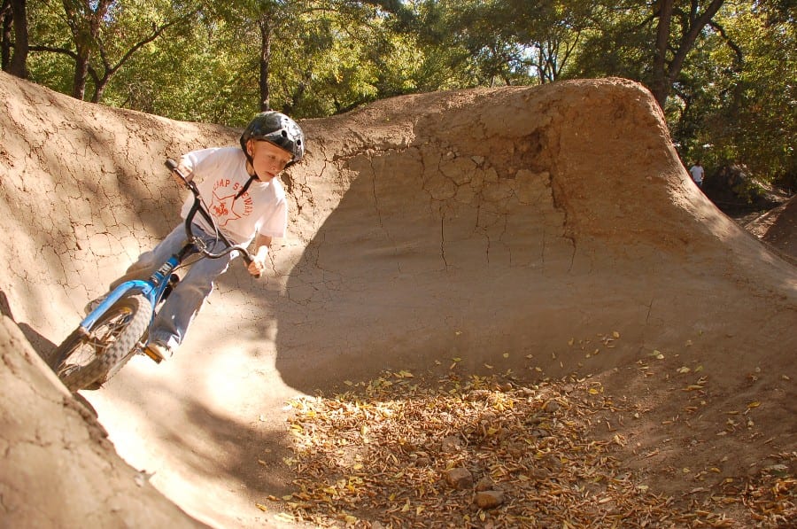
9th Street BMX Park – While this is not a trail like the others on this list, it is a fun spot worth noting to anyone who wants to get out with their BMX bike. The South side of Duncan Park is used as a BMX bicycle Jumping/trail spot where you’ll see plenty of riders practicing cool tricks. Park hours are from 7 am – 10 pm.
More Kid-Friendly BMX Parks in Austin:
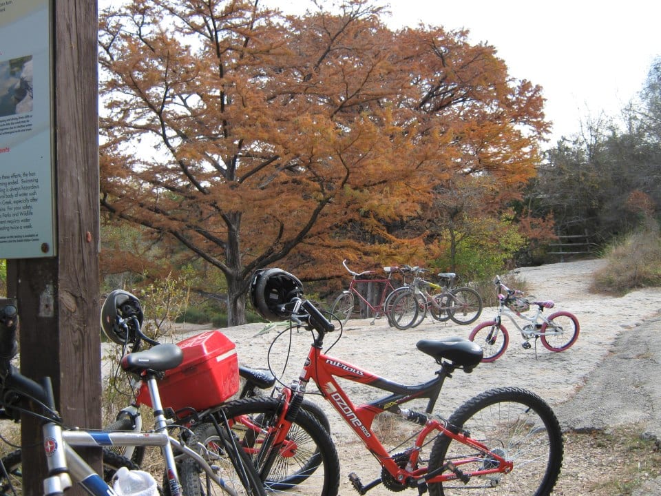
Mountain Biking: If you have older kids who are confident in their riding, you might also want to consider a true mountain bike trail. Reimers Ranch, Walnut Creek, and Slaughter Creek trails are all listed as “intermediate” on REI’s Mountain Bike Project, which is a great resource for discovering new trails.
Tips for Riding With Your Family:
- Ride in the morning. As the day goes on, the trails become more populated. And it heats up. Going out first thing will ensure more space and cooler temperatures.
- Visit Safe Streets Austin: Safe Streets Austin is a movement to transform Austin’s streets, bikeways, and trails into safe, vibrant, and equitable places for people of all ages and abilities to walk, bike, roll, and gather. You can learn much more by visiting here.


I want to know Where to get a bike like the one pictured in the headline!